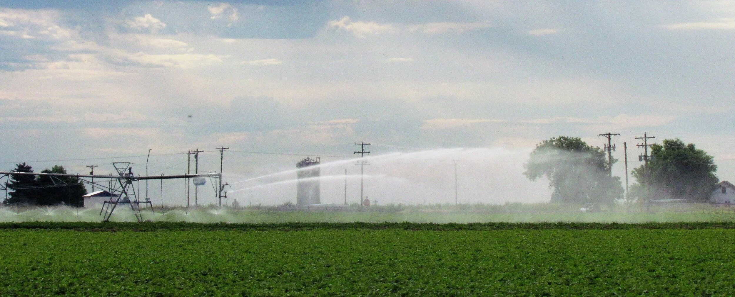
district maps
SCBID Interactive Map
The Geographical Information Systems (GIS) Portal of Franklin County hosts an interactive map of the South Columbia Basin Irrigation District (SCBID) boundaries and facilities including waterways, buried drains, right-of-ways, contract areas, and delivery turnouts together with related data from other agencies such as tax parcel information and Washington State Department of Agriculture farmed field data. The map allows searching for an address, road name, SCBID parcel, tax parcel, farm unit, water service contract, municipal & industrial contract, delivery turnout, and SCBID waterway. It provides a legend, customizable layer list, selectable background imagery, measuring tools, sharing and printing of the map view, and can use location services on mobile devices to show location.
South Columbia Basin Irrigation District is a member of the Franklin County Regional Information System, which includes Franklin County GIS, Franklin County Public Works, and Franklin Public Utility District #1.